Sunday, June 30, 2013

Calaveras County, California Bridges; Cement Plant Road Bridge across Calaveritas Road

June 2013 (38.15889 Degrees, -120.61246 Degrees) Cement Plant Road Bridge
Readers may recall the iconic Cement Plant Road Bridge across State Route 49 from an earlier blog.  Cement Plant Road becomes a surface road a little east of the Golden Chain Highway but becomes a timber trestle bridge again to cross over Calaveritas Road (two miles to the east). Two miles further to the east Cement Plant Road reaches a dead end by an old quarry. My feeling is that this road used to be a railroad spur, maybe to a railway yard in the town of San Andreas. For some reason these old timber trestles provide a way for local traffic to drive over a busy highway and a much less busy road.
These trestles look a lot like the timber falsework we build to support concrete forms for bridge construction. They are only designed for a small lateral force, so it is fortunate that they haven't been knocked down by an earthquake. Of course, railroad engineers like to say that the large impact forces of a locomotive make these bridges less vulnerable to ground shaking.
Creative Commons License
Calaveras County, California Bridges; Cement Plant Road Bridge across Calaveritas Road by Mark Yashinsky is licensed under a Creative Commons Attribution-NonCommercial-ShareAlike 3.0 United States License.

Saturday, June 29, 2013

Calaveras County, California Bridges; Whiskey Slide Road Bridge across Jesus Maria Creek

June 2013 (38.25778 Degrees, -120.58000 Degrees) Whiskey Slide Road Bridge
 The Whiskey Slide Road Bridge (30C0062) over Jesus Maria Creek is another single span steel girder bridge. It is 40 ft long, 14 ft wide, and it was built in 1930. The bridge carries about 50 vehicles a day and it is in 'Fair' condition with a sufficiency rating of 65.4.
Creative Commons License
Calaveras County, California Bridges; Whiskey Slide Road Bridge across Jesus Maria Creek by Mark Yashinsky is licensed under a Creative Commons Attribution-NonCommercial-ShareAlike 3.0 United States License.

Friday, June 28, 2013

Calaveras County, California Bridges; Railroad Flat Road Bridge across Esperenza Creek

June 2013 (38.29583 Degrees, -120.49583 Degrees) Railroad Flat Road Bridge
Continuing north we came to the Railroad Flat Road Bridge (30C0044) over Esperanza Creek. This is a single span steel stringer bridge that was built in 1940. It's 45 ft long, 21 ft wide, and on a 30 degree skew. it's in satisfactory condition with a sufficiency rating of 68.2 and it carries about 600 vehicles a day.
It's interesting how the concrete barrier rail is supported on corbels that rest on the bottom girder flange. 
Creative Commons License
Calaveras County, California Bridges; Railroad Flat Road Bridge across Esperenza Creek by Mark Yashinsky is licensed under a Creative Commons Attribution-NonCommercial-ShareAlike 3.0 United States License.

Thursday, June 27, 2013

Calaveras County, California Bridges; Sheep Ranch Road Bridge across O'Neil Creek

May 2013 (38.22083 Degrees, -120.47000 Degrees) Sheep Ranch Road Bridge
Continuing north on Sheep Ranch Road just past the town of Sheep Ranch is another single span steel girder bridge that was built in 1930 and rehabilitated in 1955. The Sheep Ranch Bridge (30C0040) across O'Neil Creek is 41 ft long, 26 ft wide, and carries about 300 vehicles a day.
Creative Commons License
Calaveras County, California Bridges; Sheep Ranch Road Bridge across O'Neil Creek by Mark Yashinsky is licensed under a Creative Commons Attribution-NonCommercial-ShareAlike 3.0 United States License.

Wednesday, June 26, 2013

Calaveras County, California Bridges; Sheep Ranch Road Bridge across San Antonio Creek

May 2013 (38.20278 Degrees, -120.45083 Degrees) Sheep Ranch Road Bridge
Continuing north on Sheep Ranch Road we came to a single span steel girder bridge across San Antonio Creek. The National Bridge Inventory says that this Sheep Ranch Road Bridge (30C0039) was built in 1930 and rehabilitated in 1955. It's 41 ft long, 24 ft wide, and carries about 300 vehicles a day.
Creative Commons License
Calaveras County, California Bridges; Sheep Ranch Road Bridge across San Antonio Creek by Mark Yashinsky is licensed under a Creative Commons Attribution-NonCommercial-ShareAlike 3.0 United States License.

Tuesday, June 25, 2013

Calaveras County, California Bridges; Sheep Ranch Road Bridge across Indian Creek

May 2013 (38.18694 Degrees, -120.44583 Degrees) Sheep Ranch Road Bridge
Continuing north on Sheep Ranch Road we drove across this handsome, single span slab bridge with a curved guard rail and tall approaches supported by retaining walls. The Sheep Ranch Road Bridge (30C0030) across Indian Creek is 30 ft long, 28 ft wide, and on a 20 degree skew. The bridge was built in 1989 and rated 'good' during its 2010 inspection. It carries about 200 vehicles a day and it has a sufficiency rating of 99.6.
Creative Commons License
Calaveras County, California Bridges; Sheep Ranch Road Bridge across Indian Creek by Mark Yashinsky is licensed under a Creative Commons Attribution-NonCommercial-ShareAlike 3.0 United States License.

Monday, June 24, 2013

Calaveras County, California Bridges; San Domingo Road Bridge across San Domingo Creek

May 2013 (38.15778 Degrees, -120.47889 Degrees) San Domingo Road Bridge
Continuing north from Murphys onto Sheep Ranch Road I came upon a bridge so covered in pipes and vegetation that I could barely see the superstructure.

The San Domingo Creek Bridge (30C0063) is a 24 ft long, single span steel girder bridge built in 1935. The bridge is 16 ft wide, it has a concrete deck, and carries just 50 vehicles a day.
Creative Commons License
Calaveras County, California Bridges; San Domingo Road Bridge across San Domingo Creek by Mark Yashinsky is licensed under a Creative Commons Attribution-NonCommercial-ShareAlike 3.0 United States License.

Sunday, June 23, 2013

Calaveras County, California Bridges; Algiers Street Bridge across Angels Creek

May 2013 (38.13694 Degrees, -120.46389 Degrees) Algiers Street Bridge
Just downstream from yesterday's arch bridge is a steel girder bridge over Angels Creek. The Algiers Street Bridge (30C0064) is a 30 ft long single span bridge that was built in 1940.
On the north side of the bridge is a water line in a steel box with braces attached the bridge's bottom flange.
Creative Commons License
Calaveras County, California Bridges; Algiers Street Bridge across Angels Creek by Mark Yashinsky is licensed under a Creative Commons Attribution-NonCommercial-ShareAlike 3.0 United States License.

Saturday, June 22, 2013

Calaveras County, California Bridges; Main Street Bridge across Angels Creek

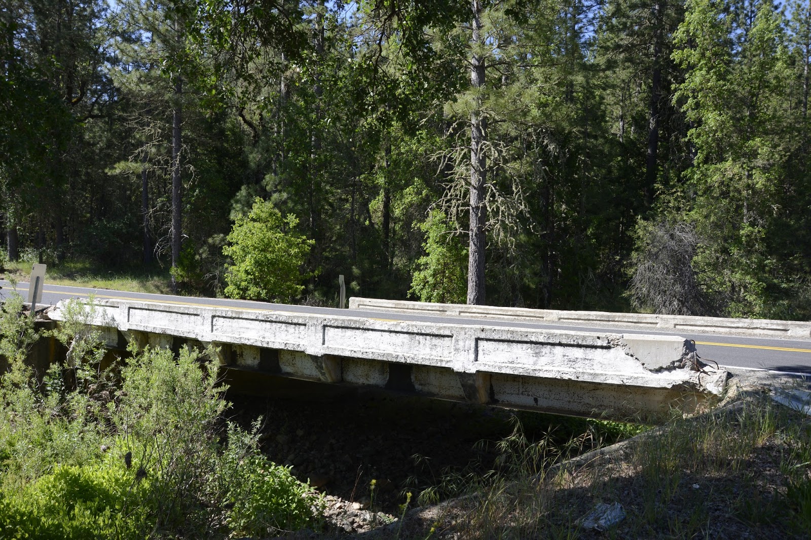
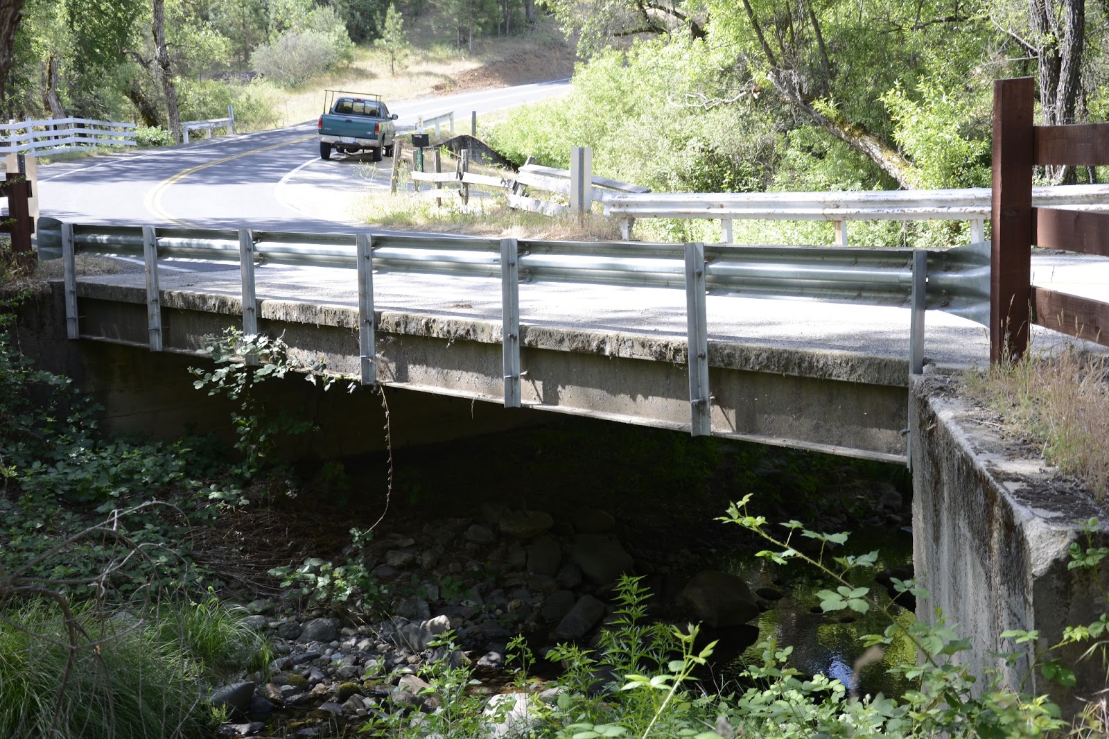
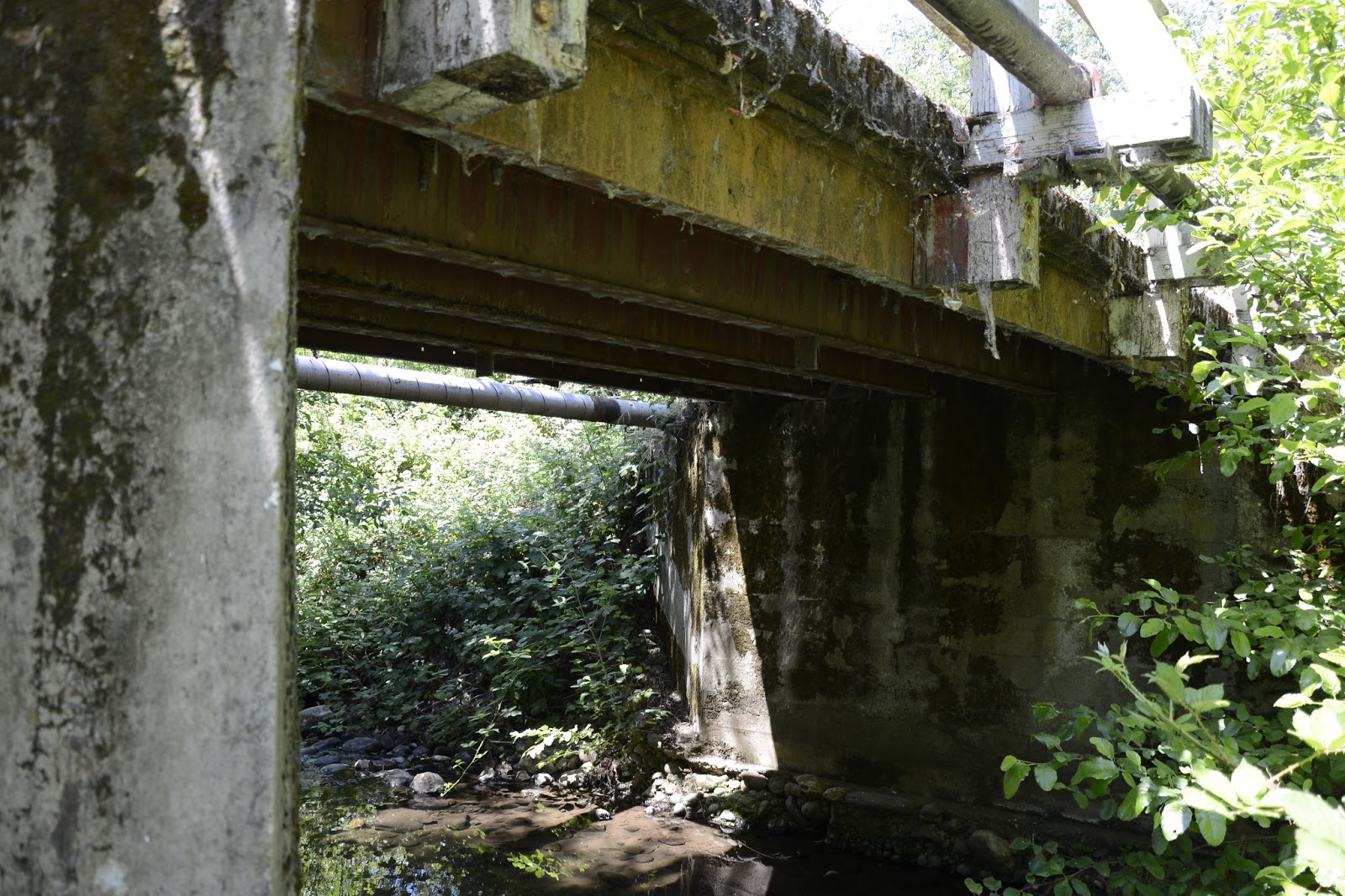
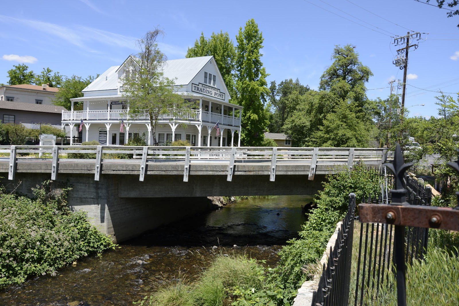
May 2013 (38.13778 Degrees, -120.46194 Degrees) Main Street Bridge
Continuing north we arrived in the town of Murphys. Like the Angel Brothers the Murphy Brothers became successful merchants during the gold rush in a town that still bears their name. Today, Murphys is a popular tourist town and it was crowded with people enjoying themselves in outdoor restaurants when we arrived during Memorial Day.
The Main Street Bridge (30C0036) is a reinforced concrete closed spandrel arch over Angels Creek. It is 29 ft long, 32 ft wide, and on a 45 degree skew. The bridge was built in 1909, it carries about 800 vehicles a day, and has a sufficiency rating of 60.

It's a shame that they put a waterline in front of the arch. There wasn't even an attempt to make the waterline inconspicuous. They just drove the supports into the closed spandrels.  Also, they have put so much asphalt on the bridge that you can't even see the bridge deck. On the one hand they wanted to celebrate the historical significance of their town but then they treat their oldest bridge without any respect.
Creative Commons License
Calaveras County, California Bridges; Main Street Bridge across Angels Creek by Mark Yashinsky is licensed under a Creative Commons Attribution-NonCommercial-ShareAlike 3.0 United States License.

Friday, June 21, 2013

Calaveras County, California Bridges; Douglas Flat Bridge across Coyote Creek

May 2013 (38.11389 Degrees, -120.45278 Degrees) Douglas Flat Bridge
Continuing north along Coyote Creek we came to an old (1935) steel girder bridge with a timber deck. The Douglas Flat Bridge (30C0021) is a two span, 40 ft long, steel stringer bridge on end diaphragm abutments and a pier wall.
The bridge is 11.8 feet wide, carries about 50 vehicles a day, and has a sufficiency rating of 22.
Creative Commons License
Calaveras County, California Bridges; Douglas Flat Bridge across Coyote Creek by Mark Yashinsky is licensed under a Creative Commons Attribution-NonCommercial-ShareAlike 3.0 United States License.

Thursday, June 20, 2013

Calaveras County, California Bridges; Parrots Ferry Road Bridge across Coyote Creek

May 2013 (38.09500 Degrees, -120.47000 Degrees) Parrots Ferry Road Bridge
Just north of yesterday's bridge is a 112 ft long, four span slab bridge on pile extensions that was built in 1981 over Coyote Creek. The Parrots Ferry Road Bridge (30C0070) is a 32.5 ft wide bridge on a 45 degree skew. The bridge carries about 1400 vehicles a day and the deck is rated poor for some reason.
Creative Commons License
Calaveras County, California Bridges; Parrots Ferry Road Bridge across Coyote Creek by Mark Yashinsky is licensed under a Creative Commons Attribution-NonCommercial-ShareAlike 3.0 United States License.

Wednesday, June 19, 2013

Calaveras County, California Bridges; Main Street Bridge across Coyote Creek

May 2013 (38.08778, -120.47278) Main Street Bridge
Traveling northeast from Angels Camp we arrived in the small town of Vallecito. The Main Street Bridge (30C0075) in Vallecito is an old (1915) concrete T girder bridge over a branch of Coyote Creek. The concrete in the rail is seriously deteriorated but fortunately the bridge appears to be in good shape. It is only 22 ft long and 35 ft wide with a 40 degree skew.
The bridge carries about 300 vehicles a day and is in good condition with a sufficiency rating of 97.
Creative Commons License
Calaveras County, California Bridges; Main Street Bridge across Coyote Creek by Mark Yashinsky is licensed under a Creative Commons Attribution-NonCommercial-ShareAlike 3.0 United States License.

Tuesday, June 18, 2013

Calaveras County, California Bridges; Rolleri Bypass Road Bridge across Angels Creek

May 2013 (38.07778 Degrees, -120.53083 Degrees) Rolleri Bypass Road Bridge
Continuing north we arrived at the Rolleri Bypass Road Bridge across Angels Creek (30C0065). This is another single span steel girder bridge made out of an old railroad car (built in 1932). The bridge is just south of the new State Route 4 Angel Camp Bypass. We can see the bridge's location in relation to the previously studied Angels Camp bridges in the Google earth photo below.
Creative Commons License
Calaveras County, California Bridges; Rolleri Bypass Road Bridge across Angels Creek by Mark Yashinsky is licensed under a Creative Commons Attribution-NonCommercial-ShareAlike 3.0 United States License.

Monday, June 17, 2013

Calaveras County, California Bridges: State Route 4 Bridge across Angel Creek

May 2013 (38.06861 Degrees, -120.53833 Degrees) Angel Creek Bridge
Across the street from the old arch bridge is a single span reinforced concrete T girder bridge that carries State Route 4 across Angel Creek. The Angel Creek Bridge (30 0008) was built in 1946, had some work done in 1960, and is currently rated in fair condition.
The bridge is 46 ft long, 37.4 ft wide (edge of deck to edge of deck), and is on a 32 degree skew. It has a sufficiency rating of 76 and carries about 6500 vehicles a day. The girders are supported by end-diaphragm abutments. The creek flows around the abutments without any kind of scour protection.
Creative Commons License
Calaveras County, California Bridges: State Route 4 Bridge across Angel Creek by Mark Yashinsky is licensed under a Creative Commons Attribution-NonCommercial-ShareAlike 3.0 United States License.

Sunday, June 16, 2013

Calaveras County, California Bridges: Angels Foot Bridge

May 2013 (38.06707 Degrees, -120. 53904 Degrees) Angels Foot Bridge
While I was wandering around trying to find access to Angel's Creek to get a good photo of the 1909 arch bridge, I came upon this timber footbridge. There was a plaque beside the bridge, which says, "Angels Footbridge was constructed in the 1890s to provide access to Angels Grammar School for children living south of Angel's Creek. The bridge washed out in the flood of 1909 and was rebuilt in 1916. After the grammar school joined with Altaville Grammar School as Mark Twain Union Elementary in 1950, the bridge was no longer needed. When it was condemned in 1966, a community campaign was organized to save it. When it needed to be restored again, Ruby Parlor #46, Native Daughters of the Golden West donated the money to rebuild it in 1995."
Creative Commons License
Calaveras County, California Bridges: Angels Foot Bridge by Mark Yashinsky is licensed under a Creative Commons Attribution-NonCommercial-ShareAlike 3.0 United States License.

Saturday, June 15, 2013

Calaveras County, California Bridges; SR-49 Bridge across Angel's Creek

May 2013 (38.06803 Degrees, -120.53896 Degrees) Angel's Creek Bridge
The city of Angels Camp was named after Henry and George Angel who set up a trading post here. The city became famous after Mark Twain wrote a story about a frog jumping contest that he claimed he heard about at the Angels Hotel. There are several old bridges in Angel's Camp, although none as old as Mark Twain's tale.
The Angel's Creek Bridge (30 0019) was built in 1909 and carries State Route 49 across the creek. It's a 48 ft long closed spandrel arch bridge, but it's called a Luten Arch after the designer, Daniel B. Luten. It seems like bridge patents at one time were like software patents are now and so David had 30 patents and claimed to have designed 17,000 bridges.
Private property and heavy vegetation are so tightly packed along the creek, that I could barely get in to take a photo of the arch.
Creative Commons License
Calaveras County, California Bridges; SR-49 Bridge across Angel's Creek by Mark Yashinsky is licensed under a Creative Commons Attribution-NonCommercial-ShareAlike 3.0 United States License.

Friday, June 14, 2013

Calaveras County, California Bridges; Spicer Meadow Road Bridge across the North Fork of the Stanislaus River

June 2013 (38.42236 Degrees, -120.04606 Degrees) Spicer Meadow Road Bridge
The easternmost bridge across the North Fork of the Stanislaus River in Calaveras County is the Spicer Meadow Road Bridge. It's a single span Corten steel I girder bridge on rocker bearings. 
This bridge must have been built by the US Forest Service, because there is no information about it in the National Bridge Inventory. I've noticed that they like to use Corten steel since they don't have maintenance crews to paint their bridges.
The bridge carries visitors from State Route 4 across the river and to Spicer Meadow Reservoir. Spicer Meadow Road is also called Forest Route 7N01 and goes between SR-4 and SR-108.

The map below shows most of the bridges we visited as we traveled east along the Stanislaus River and onto the North Fork between Calaveras and Tuolumne Counties.
Creative Commons License
Calaveras County, California Bridges; Spicer Meadow Road Bridge across the North Fork of the Stanislaus River by Mark Yashinsky is licensed under a Creative Commons Attribution-NonCommercial-ShareAlike 3.0 United States License.