Monday, September 30, 2013

Kagoshima Prefecture, Japan's Bridges: 5: Gionnosucho Footbridge

September 2013 (31.6046 Degrees, 130.5705 Degrees) Gionnosucho Footbridge
The artificial island of Gionnosucho was build just offshore from Kagoshima. It includes a baseball diamond, some apartments, and a Nissan dealership. There are four bridges connecting the island to the mainland (as seen in the Google earth photo below). Two highway bridges carry Route 10 on and off the island. There are also two footbridges, a modern tied arch bridge and the Tamaebashi stone arch, which we'll study tomorrow.
The Gionnosucho Footbridge is a 110 ft long tied arch structure composed of tubular steel arch ribs connected by cross-braces. Steel rods (with turnbuckles) hang from the arch ribs and support the deck on floor beams. Tubular steel railing is supported on the steel ties and have large square end posts. The superstructure rests on concrete abutments. The photos were taken in the late afternoon, which must have been low tide.
Creative Commons License
Kagoshima Prefecture, Japan's Bridges: 5: Gionnosucho Footbridge by Mark Yashinsky is licensed under a Creative Commons Attribution-NonCommercial-NoDerivs 3.0 Unported License.

Sunday, September 29, 2013

Kagoshima Prefecture, Japan's Bridges: 4: Koraibashi in Ishibashi Park

September 2013 (31.6052 Degrees, 130.5698 Degrees) Koraibashi
The next bridge that was relocated to the Ishibashi Koen is the Koraibashi. This bridge once connected Kajiya-chō and Kōrai-chō, where many of the samurai who later overthrew the Tokugawa shogunate lived (see Google Earth photo below).
The four-arch Koraibashi (completed in 1847) was the second longest of the five Kotsuki bridges. The cutwaters rose almost to the deck on the upstream side of the bridge and flagstones along the river bed also helped to protect the bridge. Local masons Ryusuke Yamada and Genjiro Tanaka made their names working on this bridge under Iwanaga Sangoro. The photo below shows the Koraibashi as it originally stood across the Kotsukigawa.
Creative Commons License
Kagoshima Prefecture, Japan's Bridges: 4: Koraibashi in Ishibashi Park by Mark Yashinsky is licensed under a Creative Commons Attribution-NonCommercial-NoDerivs 3.0 Unported License.

Saturday, September 28, 2013

Kagoshima Prefecture, Japan's Bridges: 3: Nishidabashi in Ishibashi Park (2)

September 2013 (31.6041 Degrees, 130.5681 Degrees) Statue of Iwanaga Sangoro
Stonemason and bridge builder Iwanaga Sangoro came from Kumamoto at the end of the Edo period to build 36 bridges in Satsuma. Zushio Hirosato (who was the chief officer at Satsuma) asked Sangoro to build stone bridges to replace the wooden ones there were washed away every year by the spring floods. After constructing a stone bridge across the Inarigawa, Sangoro built five more bridges across the Kotsukigawa. He died in 1851 at the age of 59.
The Nishidabashi was completed in 1846 as one of the main entrances into town with its own gate on the left bank. At 6.2 meters it was widest of the five Kotsukigawa bridges.
"The Nishidabashi owed its unique beauty to the double-arch design and the fanning pattern of the stones between the arches. The stone balusters were capped with bronze and linked with elegant tubular stone railings," according to a plaque located where the bridge once stood.
The Nishidabashi was damaged along with the other Sangoro bridges by the flooding of the Kotsukigawa in 1993 and so it was painstakingly removed and reassembled in the new bridge park.
Creative Commons License
Kagoshima Prefecture, Japan's Bridges: 3: Nishidabashi in Ishibashi Park (2) by Mark Yashinsky is licensed under a Creative Commons Attribution-NonCommercial-NoDerivs 3.0 Unported License.

Friday, September 27, 2013

Kagoshima Prefecture, Japan's Bridges: 3: Nishidabashi in Ishibashi Park (1)

September 2013 (31.6041 Degrees, 130.5681 Degrees) Nishidabashi
Just west of the Imarigawa is the Ishibashi Koen ((石橋記念公園) Bridge Park. This wonderful park was created after the Kotsukigawa was flooded in August of 1993, damaging several magnificent Edo era bridges. These bridges had been used for the Sankin-kōtai, 参勤交代 in the 19th century (which required the daimyo and his samurai to move to Edo (Tokyo) every other year to show their loyalty to the Shogunate.  King Louis XIV of France had a similar policy to keep the French nobility from plotting against him. There is a wonderful film by Roberto Rossellini showing how he kept the nobility in a state of infantile dependence in order to maintain stability.
The three bridges with the least damage were moved to this park (at incredible labor and expense) to show future generations the wonderful skill of 19th century Japanese bridge builders. The museum has many exhibits showing the step by step process of how these bridges were constructed, how they were damaged, and how they were carefully moved and reassembled in the park.
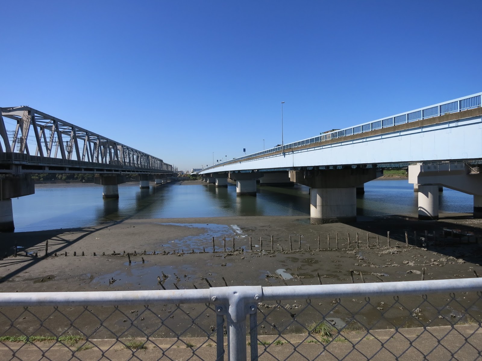
Today's bridge (the Nishidabashi) is the largest and most magnificent of the three bridges that were moved to the park. It is a four span closed spandrel arch bridge. built of perfectly cut stone and sitting on a carefully prepared timber foundation.
Nineteenth century Japan has to be understood in the context of the colonial impulses of the west, in particular of Great Britain. In fact, the site where the park sits was originally the site of the 'Gion-no-su' Gun Battery that fought the British during the Anglo-Satsuma War of 1863. Ironically, this battle ended without too many casualties and marked the beginning of a friendship between the British and the Satsuma who later fought together in the Boshin Civil War.
Creative Commons License
Kagoshima Prefecture, Japan's Bridges: 3: Nishidabashi in Ishibashi Park (1) by Mark Yashinsky is licensed under a Creative Commons Attribution-NonCommercial-NoDerivs 3.0 Unported License.

Thursday, September 26, 2013

Kagoshima Prefecture, Japan's Bridges: 2: Pedestrian Bridge across the Inarigawa

September 2013 (31.6048 Degrees, 130.5688 Degrees) Inarigawa Pedestrian Bridge
Continuing upstream on the Inarigawa we came to a two-span reinforced concrete box girder pedestrian overcrossing. The superstructure has a diamond-shaped cross-section composed of two boxes and so it's supported by a tapered pier that cradles the superstructure (see photo below).
To better understand the location of the bridges we are studying, I've labeled a map (shown below) with numbers. Yesterday's Route 10 Bridge is labeled with the number '1' and today's pedestrian bridge is labeled with the number '2.'. The map shows how the Route 10 Bridge is on a reverse curve that goes from the mainland (along the bay) onto a human-made island.  Today's bridge is important because it connects two sections of a bridge park (Ishibashi Kenin Koen) that we'll be studying over the next couple of days.
Although we are not studying any other bridges across the Inarigawa, the photo below shows a pair of railroad bridges that are just upstream of the pedestrian bridge (and beyond the area that is shown on the map). The river jogs to the north beyond these bridges.
Creative Commons License
Kagoshima Prefecture, Japan's Bridges: 2: Pedestrian Bridge across the Inarigawa by Mark Yashinsky is licensed under a Creative Commons Attribution-NonCommercial-NoDerivs 3.0 Unported License.

Wednesday, September 25, 2013

Kagoshima Prefecture, Japan's Bridges: 1: Route 10 Bridge across the Inarigawa

September 2013 (31.6040 Degrees, 130.5703 Degrees) Route 10 Bridge
After staying in Koiwa for a few days we took the Shinkansen to Kagoshima in Kyushu. Most cities have a couple of major rivers and Kagoshima has both the Inari and the Kotsuki. We'll spend the next couple of weeks looking at the bridges that cross these rivers.
Today's bridge carries Route 10 over near the mouth of the Inarigawa. We can see the very active Sakurajima volcano across the bay. This volcano sprays clouds of ash across the bay onto Kagoshima almost every day. At the beginning of 1914 very large earthquakes alerted residents to flee before a large eruption of molten lava covered Sakurajima Island, turning it into a peninsula.
There were at least three eruptions of ash while I was photographing today's bridge. The ash slowly moved across the bay and covered us with grit (the sidewalks and roads are all covered in ash). There have been over 500 eruptions in 2013 including one that generated lightning and another that rose 5000 meters and caused total darkness. More information on this volcano can be obtained at the Wikepedia website.
The Route 10 Bridge is a two span highway structure with both a steel box girder and I girders (the bridge may have been widened at some point). There are pedestrian undercrossings going through each approach. The superstructure is on a reverse horizontal curve and supported by seat-type abutments and a hammerhead bent.
This bridge (like every other bridge in Japan) has been seismically retrofit with restrainers connecting the abutments and bent cap to the girder soffit. It is fairly unadorned by Japanese standards with a stone-like facade on the retaining walls, the curbs, and on the bent, a wind surfing motif on the barrier rails facing the bay, and a bastion facing the bay.
Creative Commons License
Kagoshima Prefecture, Japan's Bridges: 1: Route 10 Bridge across the Inarigawa by Mark Yashinsky is licensed under a Creative Commons Attribution-NonCommercial-NoDerivs 3.0 Unported License.

Tuesday, September 24, 2013

Tokyo Prefecture, Japan's Bridges: Bridges across the Edogawa at Tokyo Bay

September 2013 (35.6838 Degrees, 139.9414 Degrees) Edogawa Bridges at Tokyo Bay
The last four bridges across the Edogawa are three expressway bridges and a railway bridge all sitting side by side. The first bridge is a steel girder bridge carrying the eastbound lanes of the Wangan Expressway (Route 357). The next bridge is the Metropolitan Expressway Bayshore Route. This bridge was being extensively retrofitted for earthquakes when we were there.
The next bridge is another steel stringer bridge carrying the westbound lanes of the Wangan Expressway (Route 357).
The final bridge is another Warren truss bridge carrying the Keiyo and Musashino Lines of Japan Rail.
The Google earth photo below shows all four bridges clustered together where the Edogawa empties into Tokyo Bay. The area along the river has switched from residential and commercial to industrial along the Bay. Readers can see these same highways crossing the Arakawa and the Sumida-gawa in earlier web postings about Tokyo's bridges.
Creative Commons License
Tokyo Prefecture, Japan's Bridges: Bridges across the Edogawa at Tokyo Bay by Mark Yashinsky is licensed under a Creative Commons Attribution-NonCommercial-NoDerivs 3.0 Unported License.

Monday, September 23, 2013

Tokyo Prefecture, Japan's Bridge's: Utility and Railroad Bridges across the Edogawa

September 2013 (35.6970 Degrees, 139.9329 Degrees) Utility and Railroad Bridges
The next three bridges across the Edogawa are two utility bridges with a railway bridge between them. The first utility bridge carries a single pipeline across the river. However, the next utility bridge carries two pipelines and so it switches from a truss segments to steel arches to carry the bigger load across the river.
The railroad bridge is made up of Warren Truss segments sitting on two column bents. They probably build these trusses in a yard and bring them downstream on crane barges that lift them into place. A top chord piece is placed between the segments to make a continuous superstructure.
The Google Earth photo below shows the location of these three steel bridges. The Edogawa has become a salt water estuary as we get closer to Tokyo Bay.
Creative Commons License
Tokyo Prefecture, Japan's Bridge's: Utility and Railroad Bridges across the Edogawa by Mark Yashinsky is licensed under a Creative Commons Attribution-NonCommercial-NoDerivs 3.0 Unported License.

Sunday, September 22, 2013

Tokyo Prefecture, Japan's Bridges: New Route 6 Bridge across the Edogawa

September 2013 (35.7022 Degrees, 139.9257 Degrees) New Route 6 Bridge
The next bridge as we continued walking downstream along the Edogawa is the new Route 6 Bridge, It is a double steel box girder bridge with two lanes of traffic in each direction. Yesterday's bridge used to carry all the traffic on Route 6 but it's been replaced by this much wider bridge that now carries most of the traffic.
Creative Commons License
Tokyo Prefecture, Japan's Bridges: New Route 6 Bridge across the Edogawa by Mark Yashinsky is licensed under a Creative Commons Attribution-NonCommercial-NoDerivs 3.0 Unported License.

Saturday, September 21, 2013

Tokyo Prefecture, Japan's Bridges: Old Route 6 Bridge across the Edogawa

September 2013 (35.7032 Degrees, 139.9232 Degrees) Route 6 Bridge
The next bridge across the Edogawa is interesting. It's a highway bridge with floodgates, probably meant to stop high tide from bringing seawater up the Edogawa. I wonder how well the gates did at stopping the storm surge during the typhoon on Monday? Hopefully someone put the gates up as high as they could go before the storm hit.
The Old Route 6 Bridge is a 1400 ft long steel stringer bridge on pier walls except where it is supported by the gates across the Edogawa. Note how the river splits into the Edogawa and a canal just north of the bridge and how the canal also has floodgates (in the Google earth photo below).
Creative Commons License
Tokyo Prefecture, Japan's Bridges: Route 6 Bridge across the Edogawa by Mark Yashinsky is licensed under a Creative Commons Attribution-NonCommercial-NoDerivs 3.0 Unported License.

Friday, September 20, 2013

Tokyo Prefecture, Japan's Bridges: Keiyo Road Bridges across the Edogawa

September 2013 (35.7089 Degrees, 139.9154 Degrees) Keiyo Road Bridges
The day after the typhoon was sunny and cool. We walked back down the Edogawa (the boundary between Tokyo and Chiba Prefectures) past the Kuramae Dori Bridge and the Sobu Railway Bridge and eventually we arrived at the Keiyo Road Bridges. They must have built one bridge later as Keiyo Road became more congested. I'm guessing the newer bridge is on the pier walls, but it's hard to be sure.
The girder flanges on both bridges appear to be riveted, which means they're both fairly old. However, the elastomeric bearings on the bridge with hammerhead bents look in worse shape. Also, the bridge on pier walls is a continuous 880 ft long frame. The bridge on hammerhead bents is divided into two 550 ft long frames (see Google Earth photo below). I would imagine that longer frames came later.
Creative Commons License
Tokyo Prefecture, Japan's Bridges: Keiyo Bridge across the Edogawa by Mark Yashinsky is licensed under a Creative Commons Attribution-NonCommercial-NoDerivs 3.0 Unported License.