|
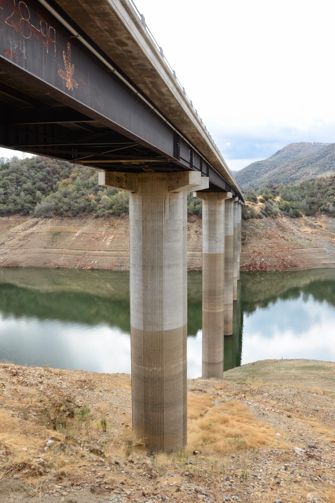
| October 2014 (40.6015 Degrees, -122.4443 Degrees) Sacramento River Trail Bridge |

Shasta County, California Bridges: Sacramento River Trail Bridge (4) by Mark Yashinsky is licensed under a Creative Commons Attribution-NonCommercial-NoDerivatives 4.0 International License.