|
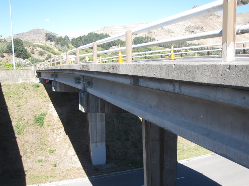
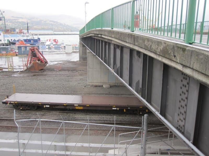
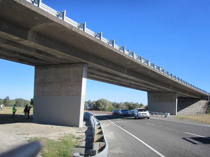
| March 2011 (-43.573 Degrees, 172.695 Degrees) Horotane Overbridges |
Another look at the Horotane Bridges. I think these bridges had just the right combination of sliding girders at the bent caps while being held loosely together by the rod restrainers and abutments to escape the earthquake with only moderate damage. You can see how the embankment slid towards the road. The abutments had been retrofitted with steel brackets around the I-girders but almost all the bolts sheared off (see photo below), which made nice souvenirs for our team.